
Passage Planning
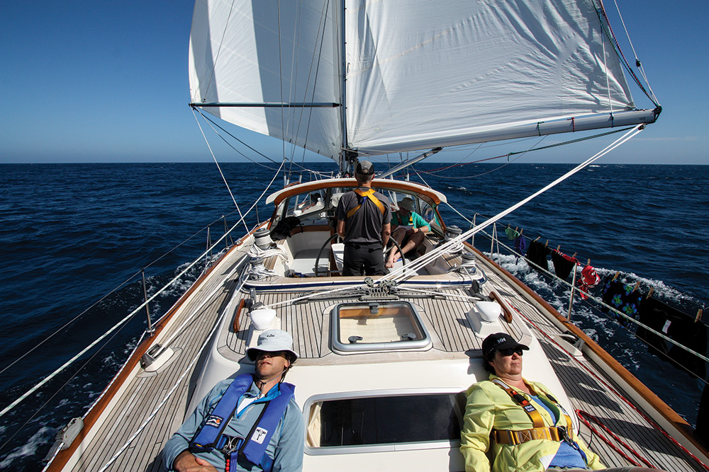
Planning an ocean passage starts with knowing when to go and which way will get you there fastest
The notion of ditching the job and house, buying a boat and sailing away to the tropics, across an ocean, or even around the world, is a fantasy that lurks in the mind of every sailor. Some actually follow their dreams and find a suitable boat and prepare it for serious sailing. Dreams collide with reality when it comes to the daunting task of route planning logistics, literally, “When to sail where?” Timing the right seasons and prevailing winds for offshore passages with the need to avoid hurricanes and heavy weather requires a bit of forethought.
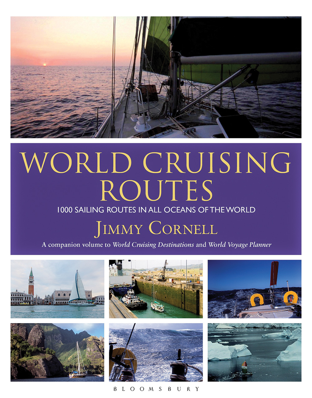
Sailors have been following the prevailing winds for millennia and for now, at least, global wind patterns are still quite predictable. We will examine some of the classic routes from the U.S. coasts in this article, however there are two indispensable references that budding world cruisers need to have aboard. The first is passage planning guru Jimmy Cornell’s book World Cruising Routes. This is the bible of passage planning and contains detailed data on every conceivable route you might be considering. The 7th edition was published in 2014.
To fully understand World Cruising Routes, you will need to make a thorough study of pilot charts, the other vital reference source. Published by month, and compiled in atlas form for every ocean, pilot charts are climate prediction charts. First produced by American Naval Lt. Matthew Fontaine Maury, they provide specific, location-based data on wind direction, wind speed, wave height, air and water temperature, chances of gales and calms, and much more. It is important to realize that the data is averaged, based on more than 150 years of ship reports. Pilot charts are not weather charts, they’re historical indicators, not forecasts and they can be inaccurate in the short term. There’s a picture in my book Flirting With Mermaids in which I am burning a pilot chart and sending it to a fiery death overboard after a week of contrary winds in the Atlantic.
Jimmy Cornell and his son Ivan have recently published updated pilot charts that are based on satellite data collected over the last 20 years instead of ship reports. Cornell’s Ocean Atlas is adjusted to the needs of small boat sailors, not commercial ships and also reflects the impact of climate change. Think what you like, but ocean voyagers are on the front lines of changing weather patterns. You might say, “change is in the wind,” as tropical storms strike in normally safe months, floods reach beyond the rainy season, and even the reliable trade winds take extended holidays. World wide route planning will be more challenging for future generations.
Wind is the metric that drives not only route planning but weather as well. Wind is caused by temperature differences that create pressure differences as warm air rises and cold air takes its place. Air flows from high pressure to low pressure. Areas of high pressure dominate between latitudes 20° and 40° on both sides of the equator, with low pressure areas above and below. Winds would be either north or south, flowing from high pressure toward low except that the Earth rotates on its axis in an eastward direction deflecting the winds to the right in the Northern Hemisphere and to the left in the southern. This is why winds rotate clockwise around a high-pressure system and counter clockwise around a low in the Northern Hemisphere and the opposite way south of the equator.
All of this rising and spinning conspires to create prevailing winds based on latitude. The region around the equator, the doldrums, is officially called the intertropical convergence zone and is defined by generally calms winds, gloomy skies and occasional violent squalls. Just north and south of the equator are the wondrous trade winds. These consistent winds are northeast in the Northern Hemisphere and southeast in the Southern Hemisphere. Depending on the season they blow from 10 to 25 knots. A tradewind circumnavigation lays predominately in the realm of these friendly, tropical winds.
North and south of the trade winds, the mid-latitudes are better known as the horse latitudes, so named because the early voyagers were reduced to slaughtering their horses for food as they drifted in variable winds. Unlike the doldrums, conditions are often fair in high pressure, especially in the summer, but there are few pressure gradients to create breeze. Above the 40th parallel the winds are the westerlies. In the northern hemisphere, between latitude 40° and 50°, the winds blow from the southwest through northwest approximately 75% of the time. In the Southern Hemisphere, winds south of 40°, the aptly named, roaring 40s and furious 50s, blow from the west with the consistency of the trade winds but with a lot more oomph.
Currents are another factor that ocean voyagers must consider. For the most part, currents align with prevailing winds. There are however, certain currents that must be considering separately when planning voyages. They include the Gulf Stream off the U.S. East Coast, the Humboldt or Peru Current off the northwest coast of South America, the Japan Current in the
Pacific and the powerful Agulhas Current of the southern capes of Africa. Currents are also noted on pilot charts, however strong currents wander across the seas and throw off meanders that can flow in the opposite direction of the main current. One of the best aspects of real-time satellite data is the ability to pinpoint the set and drift of major ocean currents allowing for logical crossing points and avoiding contrary meanders.
Voyagers are always concerned with tropical revolving storms and plan passages accordingly. These hurricanes are a risk from June through November, with the peak activity occurring in August and September. In the eastern north Pacific they have the same seasonal characteristics as hurricanes in the Atlantic. These storms typically form near the Mexican coast and head toward Hawaii and few make landfall. In the south Pacific, along the tradewind route, tropical storms are called cyclones and the season is November to April, with peak activity January and February. The Indian Ocean is dominated by monsoons, and the summer is the storm season. Fortunately the seasonal nature of these storms allows them to be avoided for the most part.
Routes in the Atlantic
East Coast to the Caribbean: Northeast to the Virgin Islands
This is a time-honored passage for sailors as many of us dream of escaping the northern winter by tarrying in the trade wind-washed Caribbean Islands. The direct passage from Newport, Rhode Island, to Tortola,
British Virgin Islands, is 1,430 miles, which on my boat Quetzal is an eight- to 12-day passage. The best time to depart is from late October through mid-
November after the bulk of hurricane season but before the onset of winter storms. The strategy is to wait for the west winds accompanying a cold front moving off the U.S. coast and ride the clocking winds on a course that is to the east of the southeast rhumbline. The Gulf Stream is encountered 200 to 300 miles south of Newport and is best crossed before there’s any hint of a northeast wind that can really rile up the seas. It is important to log as much easting as you can as the geography of North
America can be deceiving, the Caribbean islands are well to the east of every bit of the U.S. coastline. This passage is often broken with a stop in Bermuda.
Norfolk to the Virgin Islands
The same timing as the route above applies, although a later departure is possible because you are already well south of Newport. The Gulf Stream crossing is a big part of the strategy, and because it’s encountered just a day out, it is usually easy to time to avoid a contrary wind. Bermuda is not a logical option on this route unless a tropical storm dictates an abrupt change in course. I made this passage last year, sailing 1,300 miles in just over eight days. We had a textbook passage, leaving on October 22 with a cool, rainy southwest wind. We flew east-southeast and stayed just north and east of the rhumbline on a lively port tack in clocking winds. We reached the 65th meridian easily, dubbed I-65 by voyagers, and picked up the northeast trades and reached down to St. Thomas dodging frequent lightning in a couple of vicious squalls near the islands.
Florida to the Caribbean via the Bahamas
This is probably the most popular route because it’s primarily daysailing. However it’s surprisingly challenging, especially in the winter months when the trades are in full glory, blowing from the east at 20 to 25 knots. You have to pound out 50 miles a day and then scramble to find an anchorage before the fast closing early darkness. Consider the longitude: Ft. Lauderdale is at 80°W and St. Thomas is just east of 65°. Now consider the latitude: Fort Lauderdale is at 26°N and St. Thomas is at 18°30’. The difference of longitude is more than 15° while the difference of latitude is 7°30’. This is not, “sailing south to the island,” it’s bucking east- southeast toward the islands, for every degree south you need to knock off two degrees east.
Crossing the Atlantic
US East Coast to Northern
Europe and the Mediterranean
In many respects, the Atlantic Ocean is designed for small boat sailors. The route from the U.S. East Coast uses the prevailing westerly winds. There are two main routes. One might be called the Azores route and the other, the northern route.
The Azores route follows the prevailing southwesterly or westerly winds along or just north of the 40th parallel. The Azores lie at 38°N but by bending north you not only have the likelihood of prevailing winds but are also sailing a great circle route, the shortest route. The best time to depart is late May through early June. The weather is generally settled and it’s mostly pre-tropical storm season. From Newport to the Horta, on the Azorean island of Faial and a wonderful Atlantic waypoint, it’s just 2,000 miles, from Norfolk, 2,200 miles. It’s tempting to call at Bermuda but this is almost always a mistake as it’s well south of the rhumbline and leaves you stranded in the horse latitudes. From the Azores to the Med, it’s usually a nice reach on port tack as the westerlies give way to prevailing northerlies as you near the continent off Portugal. If you are carrying on to Northern Europe it’s best to sail north until you are above the dominant Azores High Pressure system and pick up southwest winds for the passage to Ireland or the English Channel.
The northern route usually includes a couple of waypoint in Canada. From the northeast, it’s a downwind ride to Nova Scotia. In fact, the prevailing southwest wind is why Maine is called “Down East” because it was downwind sailing to Maine. My favorite port in Nova Scotia is Lunenburg. The next stop is St. John’s, Newfoundland, 400 miles east-northeast from Lunenburg. From here, at latitude 47° you are in the heart of the westerlies. The best time to leave the U.S. is early June, when it’s a bit warmer but knowing that you will encounter fog. The best time to make the crossing from St. John’s to Ireland or Scotland, a mere 1,600 miles or so, is early July. The percentage of gales is relatively low, the winds are steady, the iceberg threat is reduced and you arrive in time to enjoy the bulk of the summer season.
From Europe to the U.S. East Coast
While some boats make the northern crossing, including those participating in the long-running OSTAR singlehanded race, the vast majority of sailors choose to follow the trade winds across to the Caribbean. Dubbed the “Lady’s Trades,” the passage from the Canary Islands to the Antilles is usually delightful. First you have to arrive in the
Canary Islands. Most boats leave Gibraltar or Lagos in the Algarve or other ports in Spain and Portugal in late to mid October through early November. The passage to the Canary Islands is 600 to 700 miles downwind. Last time I made the passage I detoured west to Madeira, a lovely archipelago between the Azores and Canary Islands.
Most boats leave from the Canary Islands, either Las Palmas on Gran Canaria or Santa Cruz on Tenerife in late November or early December. It is 3,000 miles, more or less to any Caribbean Island, and usually a 17- to 22-day passage reaching in tradewind conditions. The goal is Christmas in the
Caribbean. It’s important not to turn west too early, and continue on a southwest heading south of latitude 20°. The old saw was, “sail south until the butter melts, then turn right.” Some choose to shorten the passage by sailing first to Cape Verde, an island chain off Africa, 800 to 900 miles south of the
Canary Islands. From Mindelo, Cape Verde to Bridgetown, Barbados, is just 2,000 miles. I completed this passage many years ago on a Beneteau First 38 in just 12 days.
From the Caribbean most boats head for home on the U.S. East Coast in late spring or early summer. Routes north in May are good, with a stop in Bermuda. If you are heading to Florida or the Chesapeake you can call at the Turks and Caicos and the out islands of the Bahamas, sailing on a relaxing reach. Your timing should ensure that you’re in a safe hurricane harbor by mid to late June.
Routes in Pacific from the U.S. West Coast
U.S. West Coast to Hawaii
From the Strait of Juan de Fuca to Hilo, Hawaii, is 2,300 miles. From San Francisco it’s 2,050, and from Los Angeles and San Diego it’s approximately 2,200 miles, a nice quirk of geography. April and May are an ideal time to depart from California. From Seattle and points north, June is the right time. California passages typically ride the prevailing northerlies south and pick up the northeast trades earlier than passages from the northwest. For this reason many northwest sailors head to San Francisco, a 700-mile passage, first and commence the crossing to Hawaii from there.
The route back to the mainland is not quite as nice, something I will experience in late June this year when we sail from Honolulu to Seattle. Although some suggest making this passage in the winter, when there’s a good chance of southerlies, most make it in the summer because it’s warmer. The classic route is to sail due north from Hawaii until westerlies are reached, then turn right and head east toward the coast. I am planning on a 15- to 17-day passage. An alternative, especially for getting to the Californian ports, is to carry enough fuel to motor through the Pacific High until you reach the prevailing northerlies off the coast.
Although some West Coast sailors use Hawaii as a stepping-stone to the South Pacific, many others sail farther south along the Mexican coast before stepping off for paradise. More still are happy exploring Mexico and Central America and make their way south to Panama before transiting the canal and sailing north in the Caribbean.
The best time to leave any port in California is early November. The prevailing northerlies will escort you south and hurricane season is over or at least on the wane. The weather will be warm and the winds will be favorable all winter and spring as you make your way south. From Puerto Vallarta or Acapulco, the distance to the Marquesas Islands in the South Pacific is about 2,500 miles, and 500 more miles than from the Galapagos farther south. If you are heading for the South Pacific from Mexico, March is the ideal time to shove off.
Comments